The world is constantly changing, making many older maps obsolete.
Make sure your students are up-to-date with The World: Reference Maps & Forms from Evan-Moor. This is an excellent social studies teacher resource for grades three through six that includes an array of political, physical and thematic maps. Students will learn about the region, key places and location information on all seven continents in amazing detail. Through 92 maps, students will explore the globe in different ways. The World also includes evaluation forms, a crossword puzzle, word search and answer key along with reproducible student pages and more.
Read less <<
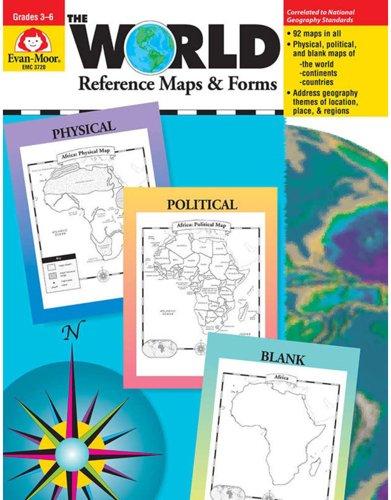
The World—Reference Maps & Forms contains 92 maps, evaluation forms, a crossword puzzle, a word search, and an answer key.
The first section, The World, includes:
- an introduction of general facts about the world
- a list of 192 countries in the world
- a reference political map of the continents
- a blank world map
- Robinson and Mercator projection maps
- globes, showing hemispheres, parallels, and meridians
- maps of oceans, rivers, mountain ranges, and deserts
The second section, The Continents, includes:
North America:
- an introduction, listing the countries, area, population, elevations, and fun facts about the continent
- reference political and physical maps of North America, Canada, the United States, and Mexico
- blank outline maps of North America, Canada, the United States, and Mexico—shape, political, and physical
- study maps of each region of the United States and Mexico and the provinces and territories of Canada
- a reference map of six regions of the United States
- study maps of Central America, the Greater Antilles, and a reference map of the Lesser Antilles
South America
- an introduction, listing the area, elevations, and fun facts about the continent
- a reference political map and physical map of South America and Northern South America
- blank outline maps of the continent–shape, political, and physical
Africa, Europe, Asia, and Australia
- an introduction, listing the countries, area, population, elevations, and fun facts about the continent
- a reference political and a physical map of the continent (a political map of Oceania is included with Australia)
- blank outline maps of the continent—shape, political, and physical
- study maps of regions of the continent
Antarctica and the Arctic Region
- an introduction, listing the area, elevations, and fun facts about the continent
- reference polar projection maps of Antarctica and the Arctic Region
- a reference map of the scientific stations in Antarctica
- blank outline projection maps of Antarctica and the Arctic Region
This resource contains teacher support pages, reproducible student pages, and an answer key.